
River Levels
Last updated on October 21, 2026
No River Warnings or Advisories Currently in Effect
What Do I Need to Know About Flood Risk in Merritt?
Merritt is located at the confluence of the Coldwater and Nicola rivers and has a considerable history of riverine flooding. While both the Coldwater and Nicola rivers have flooded in recent years, the rivers have different flood regimes and tend to flood independently of one another as opposed to concurrently. In general, the Coldwater River is most likely to flood in the fall or winter as a result of an ice jam or an extreme rainfall event like an atmospheric river and the Nicola River is most likely to flood in the spring as a result of freshet.
What Is an Atmospheric River?
An atmospheric rivers is a corridor of water vapour that is carried out of ocean tropics and that can result in significant rain and snow. A “Pineapple Express” storm is a specific type of atmospheric river that originates northeast of Hawaii and frequently impacts the Pacific coast of North America. Atmospheric rivers vary in intensity and most are not a cause for significant concern; however, some atmospheric river events do cause flooding. In BC, atmospheric rivers occur most frequently in autumn.
What Is an Ice Jam?
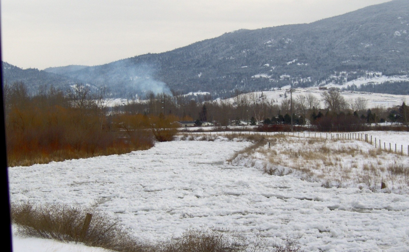
An ice jam occurs when broken ice jams a river channel and causes water levels to rise. Ice jams are very difficult to foresee; however, ice jams do occur most often in late winter or early spring as well as when a period of very cold weather is followed by a rapid rise in temperatures. Heavy precipitation in conjunction with a rise in temperatures also increases ice jam risk. Merritt experienced a highly damaging ice jam on the Coldwater River in 1991.
What Is Freshet?
Freshet refers to the rise in river levels that occurs each spring when river ice and the snowpack melt. In BC, freshet typically occurs between April and July and peaks in early June.
Hydrometric Stations
The Water Survey of Canada uses a national network of hydrometric stations to collect information about river levels and river discharge. The Coldwater River Near Brookmere (08LG048) and Nicola River at Outlet of Nicola Lake (08LG065) hydrometric stations are located upstream from Merritt and provide especially useful information about local river conditions. The City monitors these hydrometric stations when flood risk is elevated.
In general, flooding becomes a concern for Merritt when the discharge level at the Brookmere station (08LG048) reaches approximately 90 m³/s or the discharge level at the Nicola Dam station reaches approximately 55 m³/s (08LG065). Notably, discharge at the Brookmere Station is estimated to have peaked at approximately 362 m³/s during the 2021 Coldwater River flood.
The BC River Forecast Centre
The BC River Forecast Centre monitors snowpack, predicts river flows, and issues warnings and advisories when flood risk is forecasted. The River Forecast Centre uses the following three tiers of flood warnings:
High Streamflow Advisory
River levels are rising or expected to rise rapidly, but that no major flooding is expected. Minor flooding in low-lying areas is possible.
Flood Watch
River levels are rising and will approach or may exceed bankfull. Flooding of areas adjacent to affected rivers may occur.
Flood Warning
River levels have exceeded bankfull or will exceed bankfull imminently, and that flooding of areas adjacent to the rivers affected will result.
This River Forecast Centre map shows all active flood warnings and advisories in BC:
The CLEVER Forecast
The River Forecast Centre’s Channel Links Evolution Efficient Routing (CLEVER) model provides a ten-day forecast of river discharge and return periods. The model is particularly useful for estimating river discharge when storms are forecasted. The model is available for both the Coldwater and Nicola hydrometric stations: